

The Montone area is bordered on the south-west by the Tiber River, and on the north and north-east of the town by the Carpina, the Tiber’s left-hand tributary, and the Carpinella stream which descend from their respective valleys, while the Lana stream forms most of the western boundary.
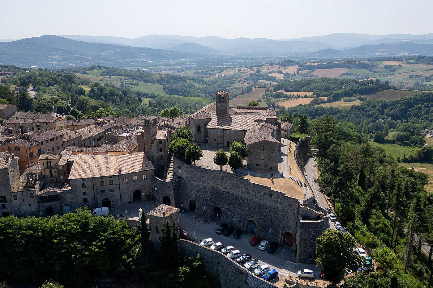
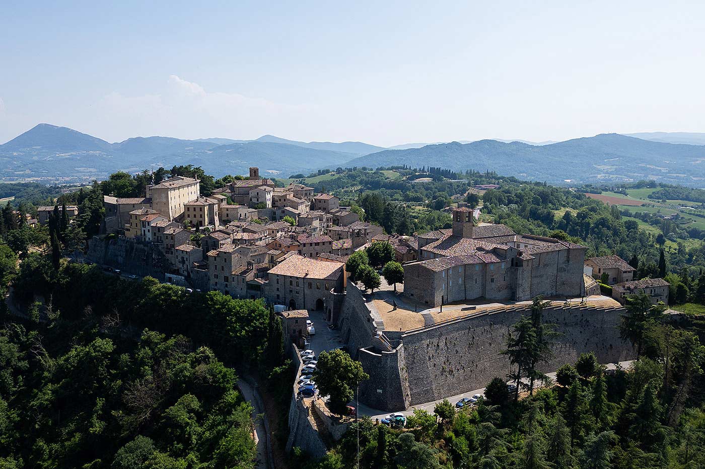
The Capanneto or Castel Vecchio occupied the hill where the convent of St. Francis (S. Francesco) now stands. At the top of the hill, on either side of the primitive fortress, two vast terraces enabled control of the Tiber Valley to the west, and the Carpina river valley to the east.
From the west-facing terrace, the view stretches from Mount La Verna in the north-west to Mount Tezio near Perugia. The course of the Tiber has created a wide plain, and beyond it are the rising green hills that mark the border with Tuscany.
Archaeological evidence reveals that the area between the Tiber and the Carpina was inhabited as early as the Middle Palaeolithic period. Various other finds show that the area was still permanently inhabited in the Bronze Age, when the Umbrian and Etruscan peoples lived on either side of the Tiber. They often chose elevated locations that allowed them to easily control the communication routes.
During Roman times in the 2nd century, there was a luxurious country villa at
Santa Maria di Sette, near the confluence where the Carpina flows into the Tiber. The inhabitants benefited greatly from the fertile plain surrounding it. The area had been frequented repeatedly during much earlier periods, probably as a place of trade. It would have been linked to the transport of goods along the river, and also due to the important diverticulum, or side road. This branched off the main road towards Tifernum Tiberinum, and provided a more direct route to Pietralunga before it passed through Cagli on the Via Flaminia.
With the dissolution of the Roman Empire, the Greek-Gothic War and then the invasion of the Lombards in 568, the Tiber Valley became heavily militarised. The main communication routes between Rome and Ravenna – the Via Flaminia and the Via Amerina – were key targets for occupation by the opposing sides. By the end of the 6th century, the Lombards had conquered most of northern Italy and the Tuscia region as far as Arezzo, ruling over the duchies of Spoleto and Benevento. Only a narrow strip of land continued to connect Rome and Ravenna via Perugia. Between 590 and 605, Città di Castello also fell into the hands of the Lombards, and the upper border of the Byzantine corridor inevitably shifted to the Carpina and Niccone valleys.
The line of defence comprised a series of castles, fortified squares and fortresses located on hilltops. Although modest in size, they secured control of the communication routes and protected agricultural production in the valleys.
The line of defence comprised a series of castles, fortified squares and fortresses located on hilltops. Although modest in size, they secured control of the communication routes and protected agricultural production in the valleys.
It is likely that one of these ancient fortified sites was built much later, about two or three centuries after the castle of Montone.
One of the main factors that marked its development was its strategic position. Evidence for this points to the continuous struggle between Perugia, Città di Castello and to a lesser extent, Gubbio, for control of it. It was located on the borders of three dioceses, and its allegiance was fought for by these great cities and their “masters”, the Papal States on one side and the Empire on the other. In the first half of the 13th century, it changed hands twice before finally entering under the rule and protection of the Guelph city of Perugia in 1248.